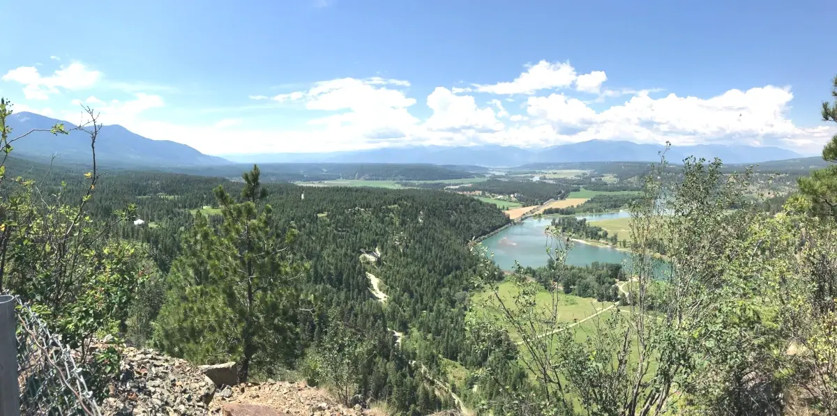
The U.S. Forest Service and the Bureau of Land Management are seeking feedback on a proposal to treat more than 11,000 acres of forested public lands near Bonners Ferry to reduce the wildfire danger to communities and improve overall forest health into the future.
The Katkee Fuels Project is part of a greater Wildfire Crisis Strategy developed by the Forest Service to address a growing wildfire crisis across the West and threats to communities, infrastructure, and watersheds. This proposed project is within the Idaho portion of the Kootenai Complex Wildfire Crisis Strategy Priority Landscape.
The Katkee Fuels Project area includes Two Tail and Katka Peaks, as well as the Clifty and Black Mountain areas, and is located entirely within Boundary County.
The proposal includes activities designed to reduce hazardous fuels accumulations, as well as vegetation management prescriptions designed to maintain or improve forest health and resilience to stressors, like climate change, insects or disease outbreaks.
The resultant landscape would remain healthier for a longer period and provide firefighters with greater opportunities to manage wildfires.
The Katkee Fuels Project was developed in coordination with the Kootenai Valley Resource Initiative, a citizen collaborative group, to complement other landscape restoration work in the Lower Kootenai River Valley on adjacent public and private lands. The proposal includes plans to work with landowners in the Bonners Ferry and Moyie Springs communities to address wildfire threats with a cross-boundary approach to forest restoration.
Public input will be used to help identify any issues or concerns that should be included in the environmental analysis. Comments should be submitted by March 2, 2024.
Project documents are available online.
For further questions, please contact Doug Nishek at the Bonners Ferry Ranger District office, (208) 267-5561.
